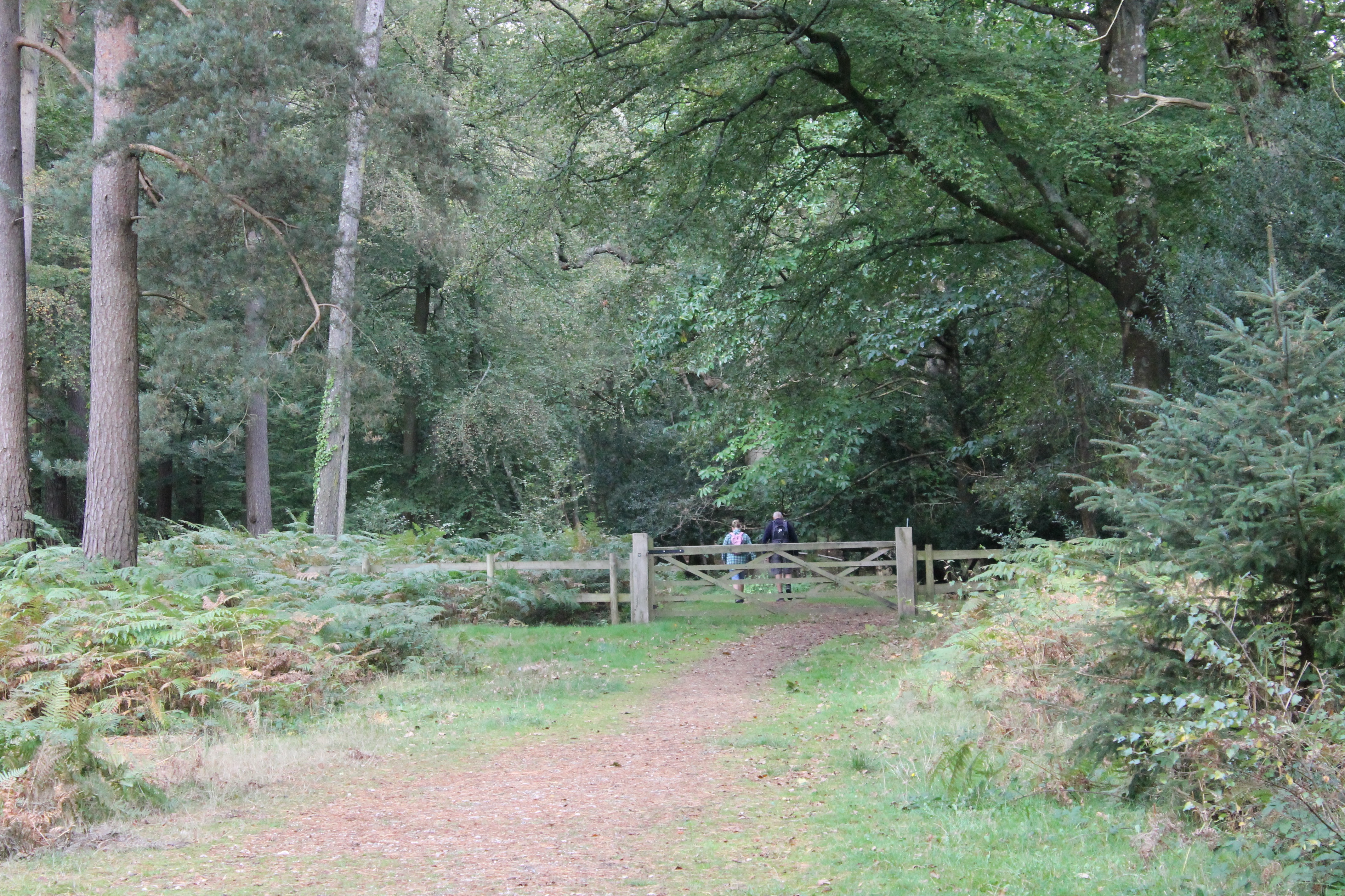
In times past there were no convenient paths and tracks for New Forest cyclists or walkers.
In 1966 the Financial Times newspaper published an article about a map of the New Forest that mapping agency – Ordnance Survey – was planning to produce. This map would be different from any previous style of tourist map because it was going to use colour to depict the vegetation and types of country. According to the article, the map showed ‘public rights of way, camping sites, car parks, places for angling, boating, riding and golfing, view points and ancient monuments’.[1] It is interesting to note that cycling, which is a popular activity in the New Forest today, is not mentioned at all. I can only conclude that the Forest tracks at this time, which were generally unmade and very rough, would have been extremely uncomfortable to ride on using the rudimentary road bicycles of the day. The Ordnance Survey map could be purchased for between six shillings to ten shillings, depending upon whether you wanted it in flat paper, folded paper or mounted cloth. I couldn’t possibly hazard a guess as to how many tourist maps of the New Forest have been created since then.
Cars, caravans, and campers
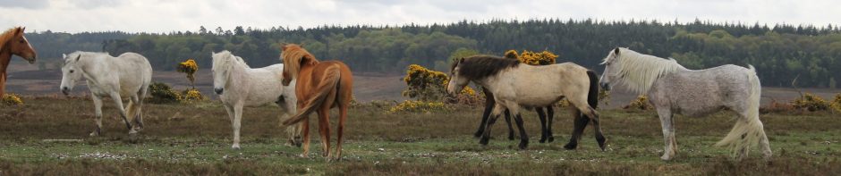
Of course in the 1960s tourists were able to camp all over the Forest, wherever they could access in their vehicles. All campers had to do was to purchase a license from the Forestry Commission. Caravans, tents and cars were common sights across the landscape of the New Forest during this time. According to Forestry Commission figures for the period, the number of camper nights, i.e. one camper for one night, increased from 83,000 in 1956 to 485,000 in 1969. At the end of the tourist season in 1969 an estimated 20,000 cars per day were off-roading on the Forest at peak times. This was at a time when the Forest attracted 3.5 million day visitors per year.[2] Can you imagine what the Forest would look like if the same permit conditions existed for the more than 13.5 million day visitors per annum who visit the Forest today?[3] Fortunately for the New Forest things changed dramatically in the mid-1970s with the introduction of initiatives, such as car-free zones, dedicated campsites and official car parks. Nearly fifty years later, we can appreciate the scenic beauty of the Forest and its abundant plant and animal life thanks to the strenuous parliamentary campaigning of some far-sighted individuals and local organisations. Tourism is an important part of the New Forest economy that, like the impact of its residents, is now managed to ensure that people do not harm the very landscape, which they profess to enjoy. A landscape appreciated becomes a landscape loved and a landscape preserved.
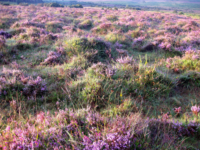
The New Forest heather in bloom can turn the landscape purple, for as far as the eye can see.
[1] Tourist Map of the New Forest – The Financial Times (London, England), Tuesday, March 29, 1966.
[2] Forestry Commission figures quoted in Colin Tubbs, New Forest: History, Conservation, Ecology, (Lyndhurst, 2001), pp. 98-99.
[3] New Forest District Council website – Tourism and Travel, updated September 2015, [accessed 7 August 2016]: http://www.newforest.gov.uk/article/5197/Tourism-and-Travel
You must be logged in to post a comment.